Vorarlbierg, a beer map app
An Android app that turns Vorarlberg into a beer map: photograph a beer in each of the 96 Gemeinden and watch the map go from grey to green.
- Role
- Design & development
- Timeframe
- 2026
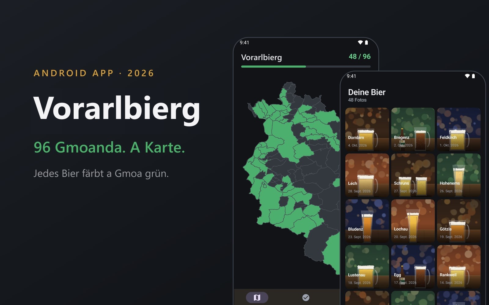
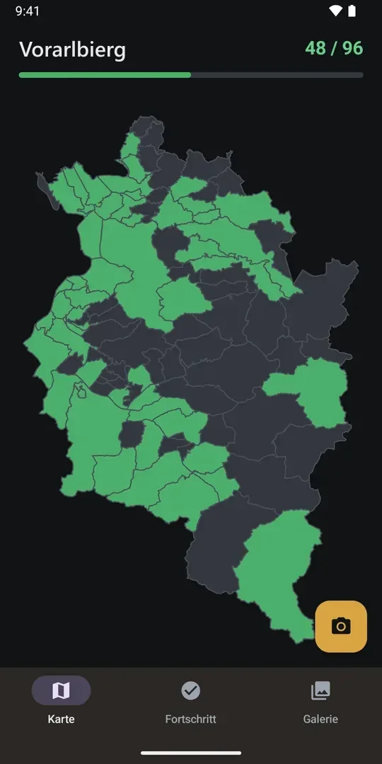
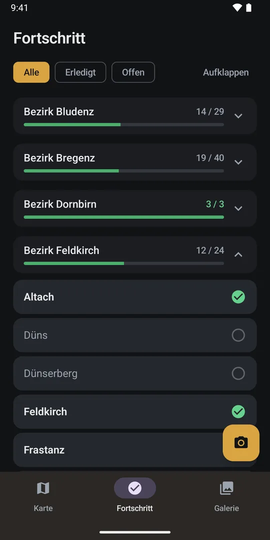
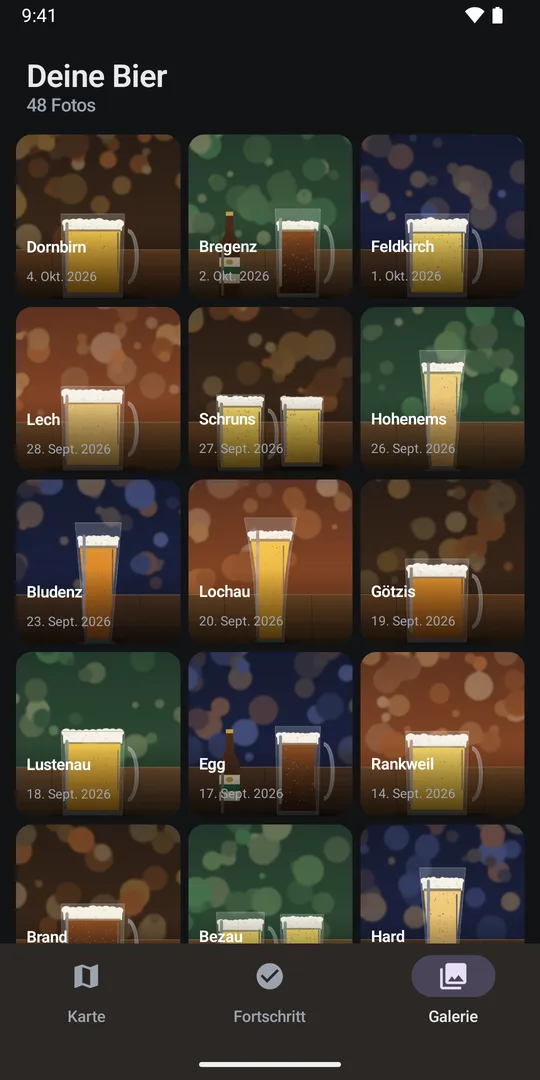
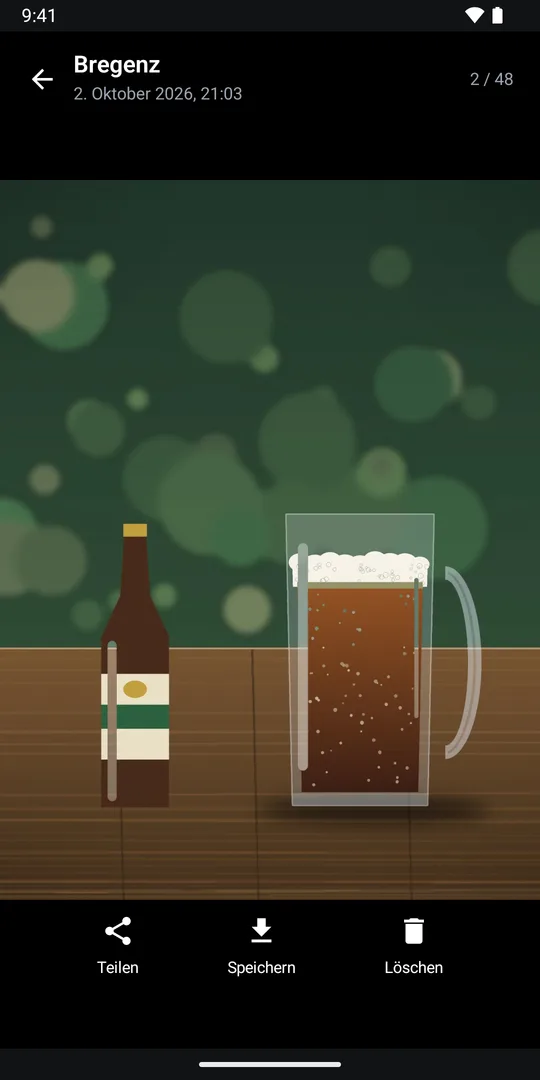
Vorarlbierg is a small game: photograph a beer in each of Vorarlberg's 96 Gemeinden and the app ticks that Gemeinde off. The map starts grey and turns green as you go. The interface is in German with a light Vorarlberg dialect.
When you take a photo, the app reads your GPS position and checks which Gemeinde boundary it falls in, then ticks that one. The map is drawn straight from the boundary polygons, without a map SDK. A progress view lists all 96 Gemeinden by district, and the gallery has a full-screen viewer for zooming, sharing, and saving photos. The 7 MB boundary file is parsed once, simplified, and cached, so the map stays quick.
It's native Android in Kotlin and Jetpack Compose, with Room for the data and CameraX for the camera, and the photos stay on the phone. I'm now building a Supabase backend for friends and Google sign-in: the database schema and its tests are written, the app side is next. The app is coming soon to Google Play.